Santa Maria Maior
Largo do Caldas / Rua da Madalena
Here, on May Day 1962, the police fired bursts of machine-gun fire at the demonstrators and killed the typographer Estêvão Giro, aged 25.
History
May Day (1 May) 1962 was one of the largest demonstrations against the dictatorship, bringing workers’ and students’ mobilisation together, in the middle of the academic crisis. The demonstrators gathered at various points in the city, and there were clashes in the Terreiro do Paço, the Carmo, the Rossio, Martim Moniz and Alcântara.1
Around Rua da Madalena and Largo do Caldas, demonstrators and police forces clashed, and the police fired bursts of machine-gun fire. Estêvão José Dangues Giro, a typographer from Alcochete, who is said to have had links to the PCP, was fatally hit. He was 25.1 According to the testimony of Adalberto Ribeiro, collected by Memória Comum, he fell on the stretch running from Largo and Rua da Madalena to Largo do Caldas, where one end of the demonstration was holding out against the riot police; his companions carried him to a first-aid post at the back of the Associação dos Empregados do Comércio (Shop Workers’ Association), in Largo do Caldas, where he arrived already dead.3
As the Aljube Museum points out, the killing took place “very close to the Aljube”, the PIDE’s political prison, and a few days after two miners had been killed in Aljustrel, at the end of April.2
The repression combined the riot police, the GNR, the PIDE and the Portuguese Legion, and only late into the night did the authorities manage to regain control of the situation.1
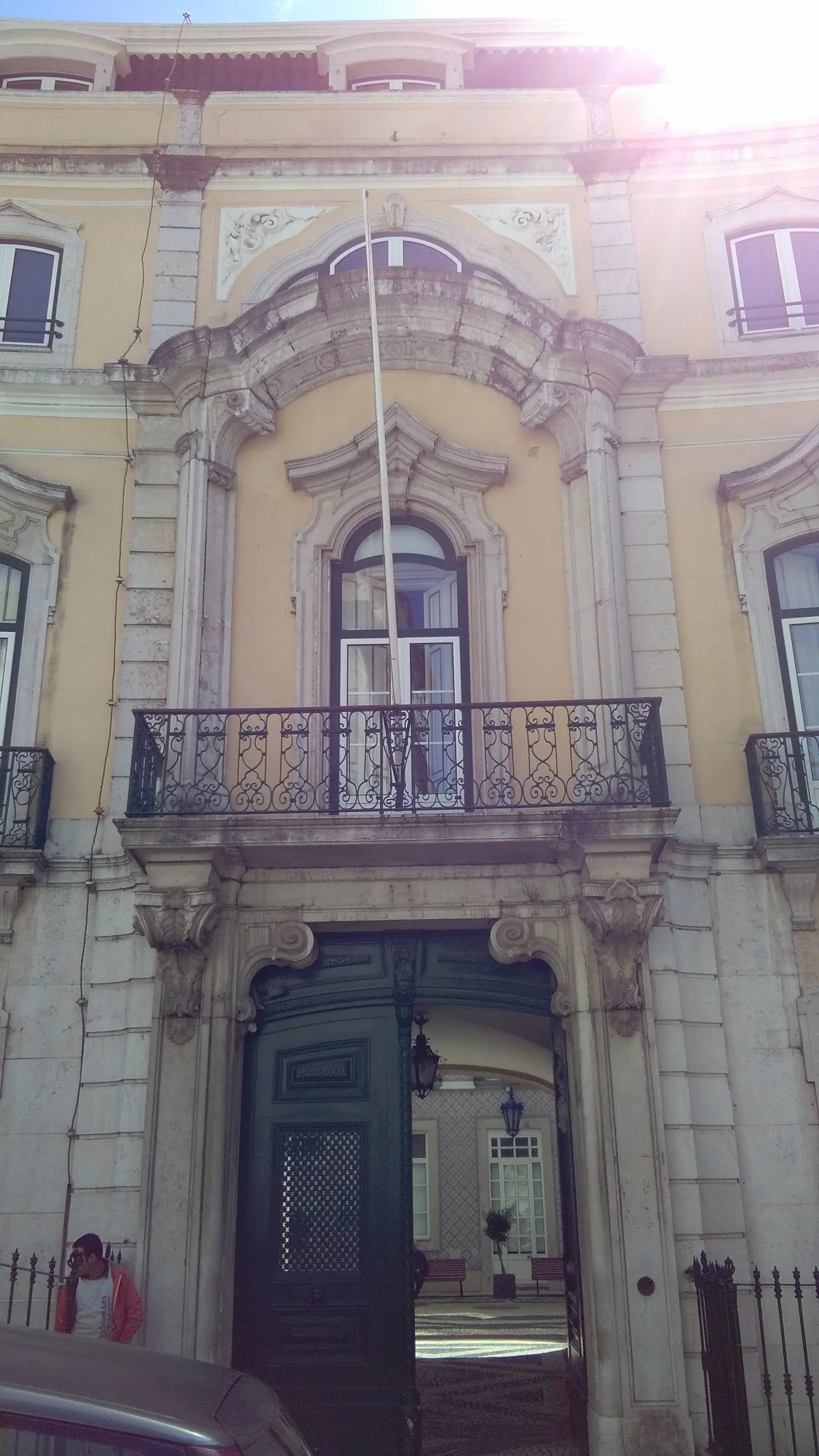
Since a municipal notice of 5 April 1982, the square has officially been called Largo Adelino Amaro da Costa, in memory of the Minister of Defence killed at Camarate in 1980; the old name, Largo do Caldas, comes from the Pombaline palace of the Caldas brothers and is still the one Lisboners use.4
Where
Map showing where Largo do Caldas / Rua da Madalena is.
Open on the map of Lisbon Walk there
Nearby
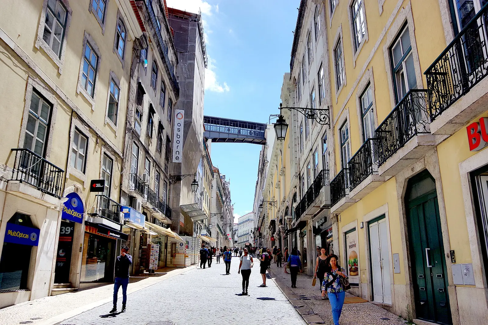
Rua do Carmo — Celeste Caeiro’s carnations
330 m · 5 min on foot
Café Chave d'Ouro
350 m · 5 min on foot
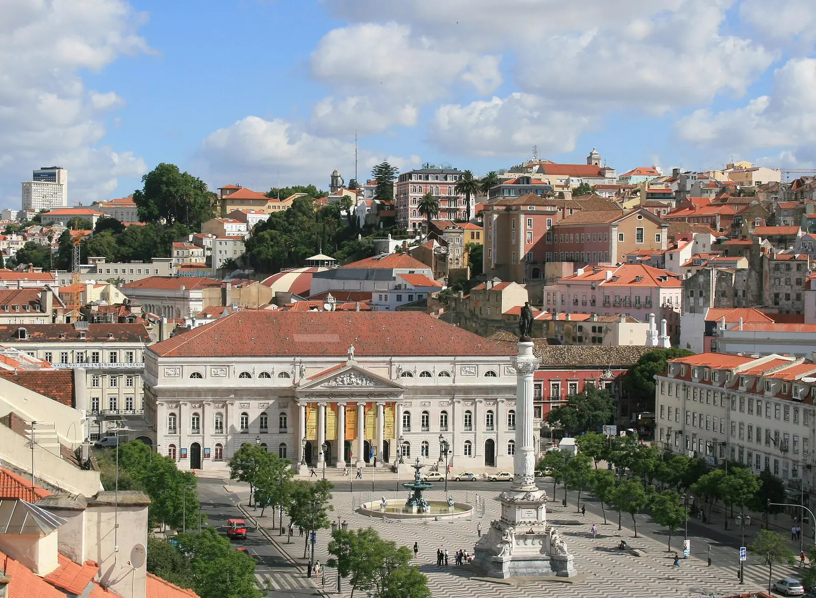
Rossio (Praça de D. Pedro IV)
350 m · 5 min on foot


Dates
2
1 May 1962
Death of Estêvão Giro, hit by police fire.
5 April 1982
Municipal notice giving Largo do Caldas the name Largo Adelino Amaro da Costa.
Notes on the sources2
- The exact spot where Estêvão Giro fell, on the stretch between Rua da Madalena and Largo do Caldas: the testimony published by Memória Comum does not specify it.
- Age: the Aljube Museum says he was 25, but gives 1937 as his year of birth (which would make him 24 or 25, depending on the date).
Do you know more, or do you have a document? Tell us.
Sources4
- 1Estêvão José Dangues Giro (Alcochete, 1937 – Lisboa, 01-05-1962). Museu do Aljube Resistência e Liberdade — consulted on 2 October 2026
- 2Manifestação de apoio a Eurico Figueiredo. Museu do Aljube Resistência e Liberdade (EGEAC) — consulted on 2 October 2026
- 3Estêvão José Dangues Giro. Memória Comum – Memorial aos Presos e Perseguidos Políticos — consulted on 4 October 2026Com o testemunho presencial de Adalberto Ribeiro, conta que caiu baleado no Largo e Rua da Madalena e que outros manifestantes o levaram para o posto médico das traseiras da Associação dos Empregados do Comércio, no Largo do Caldas, onde chegou já morto.
- 4O pombalino Largo do Caldas e o Largo Adelino Amaro da Costa dos anos 80. Toponímia de Lisboa (Câmara Municipal de Lisboa), 2017 — consulted on 4 October 2026O Largo do Caldas chama-se oficialmente Largo Adelino Amaro da Costa desde o edital de 5 de abril de 1982, na sequência de uma proposta aprovada em reunião de Câmara a 22 de dezembro de 1980.
Coordinates: OpenStreetMap (Nominatim), consultado a 2 de outubro de 2026.